Maps are used in various fields to express data appealingly and interpretively. They can add vital context by incorporating many variables into an easy-to-read and applicable format. Maps are also important because they allow people to gain better insight and perspective of their place in the world. It’s critical to have effective maps, which means creating ones that a given audience can easily understand. For instance, maps that need to be understood by children would be very different from those intended for geographers. At the beginning of our map-making lesson, our goal is for students to understand that when surveying a stretch of land, whether a building site or a country, the primary practical consideration is that it is much easier to measure angles than distances. In right-angled triangles, the square on the side opposite the right angle equals the sum of the squares on the sides containing the right angle.
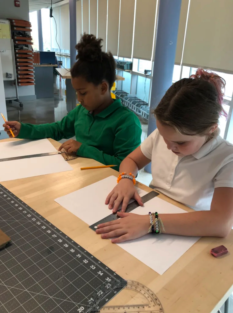
Grade 4 students have been studying maps in their Social Studies unit. Over the past few weeks, they have been using geometry and tools, including rulers and protractors, to design maps of the world with Mr. Arango in the Upper School STEAM Hub. Cardinal and intermediate directions are reinforced as students plot points to form triangles that turn into continents! Listening, following directions, measuring, and drawing straight edges with precision are among the skills reinforced. Finished maps will also connect to the new science unit on biomes.
The students draw triangles to create a base for a world map. The best way to know that you’ve got your triangle in the right spot is to make more interconnected triangles. Each triangle is based on the first, allowing students to map out more key elements in the design and end up with a web of triangles that outline our world.

Leave a comment